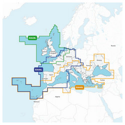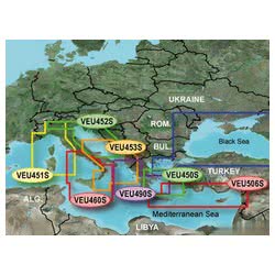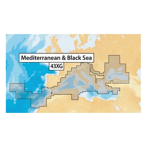
Navionics XL9-43XG nautical chart Mediterranean, Black Sea, Canaries and Azores
Mapping model: Navionics + 43XG
Electronic support: SD / Micro SD
Size: XL9

Prodotti Correlati
90% of the orders are shipped within 24H. Have a look at the availability and shipment time in the product page
We work on boating since 1982. You will find experienced and polite staff
You can choose between Paypal, Credit Card, Postepay and Transfer
We only use packaging from recycled material within our own store
 Italiano
 English