Navimap marine chart IT207-IT208
Map - SIDE 1: IT207
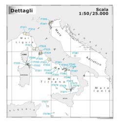
Area - Side 1: From Punta Ala to Cala Galera with Giglio Isle and Giannutri Isle
Map - SIDE 2: IT208
Area - SIDE 2: From Porto Ercole to Capo Linaro with Giannutri Isle
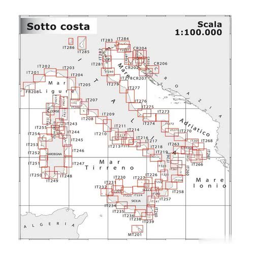
Scale: 100.000

Prodotti Correlati
90% of the orders are shipped within 24H. Have a look at the availability and shipment time in the product page
We work on boating since 1982. You will find experienced and polite staff
You can choose between Paypal, Credit Card, Postepay and Transfer
We only use packaging from recycled material within our own store
 Italiano
 English