Navigating without updated marine charts is risky. Nautica Basile provides top digital nautical charts:
Garmin BlueChart g3 Vision and
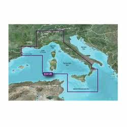
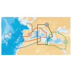
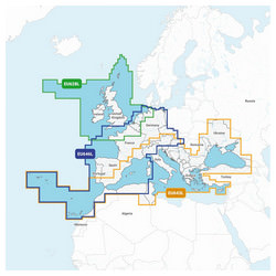
Navionics+, vital tools for safe, precise, and informative navigation. Find the chartplotter maps compatible with your GPS and prepare to explore new routes, discover hidden coves, and find prime fishing locations.
Digital nautical charts have transformed navigation, offering key advantages over traditional paper charts: frequent and automatic updates, 3D visualization for improved seabed understanding, detailed port and onshore service information, and simple, intuitive route planning.
Garmin BlueChart g3 Vision: Experience detailed high-resolution satellite imagery, MarinerEye and FishEye 3D views for realistic seabed perspectives, and Auto Guidance technology for automatic route calculation, considering your boat's dimensions and safety parameters.
Navionics+: Utilize SonarChart to create custom bathymetry, enhancing your seabed knowledge with data shared by the boating community. Benefit from daily updates and Community Edits for consistently fresh and reliable information.
Remember that nautical charts are crucial for safety at sea. Don't depend solely on GPS; always verify your position on the chart and carefully plan your route. Updated marine charts help you avoid underwater hazards, identify safe anchorage spots, and navigate with confidence.
The Nautica Basile Workshop's Advice
- Updates: Regularly update your nautical charts to benefit from the latest information and corrections.
- Compatibility: Verify the compatibility of the marine charts with your GPS chartplotter model before purchasing.
- Backup: In case of chartplotter issues, always carry a backup nautical chart, both digital (on a mobile device) and paper.
- Coverage: Choose nautical charts with geographic coverage that matches your typical routes and navigation plans.
- Depth: If you have a fishfinder, consider nautical charts with high-definition bathymetry to locate optimal fishing spots and navigate safely in shallow waters.
In addition to nautical charts, Nautica Basile offers accessories for your GPS chartplotter, such as power cables, mounting brackets, external GPS antennas, and screen protectors.
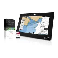
Is it suitable for my Raymarine Axiom 9?
Navionics charts may be compatible with Raymarine chartplotters, but it is necessary to verify the specific compatibility of the model and software version. Alternatively, Raymarine offers its own Lighthouse Charts. Contact Nautica Basile for a compatibility check.
Which nautical chart is best for fishing?
Both Garmin and Navionics offer nautical charts with high-definition bathymetry, ideal for fishing. Navionics with SonarChart also allows you to create custom bathymetry, while Garmin offers FishEye technology for a realistic view of the seabed.
How do I update Navionics charts?
Navionics charts are updated via the Navionics Boating app, which can be downloaded on smartphones and tablets. You must have an active subscription to download updates and benefit from the latest features.
What is the difference between Garmin BlueChart g3 and Navionics+?
Both offer detailed nautical charts, but Garmin BlueChart g3 stands out for its high-resolution satellite imagery and Auto Guidance technology, while Navionics+ excels in creating custom bathymetry with SonarChart and in updates provided by the community.
Is the nautical chart valid forever or does it expire?
Digital nautical charts require a subscription to receive constant updates. The duration of the subscription varies depending on the manufacturer and type of chart. Without an active subscription, the nautical chart will continue to function, but will no longer receive updates.
Can I use the nautical chart on multiple devices?
The ability to use the nautical chart on multiple devices depends on the manufacturer's license terms. Some nautical charts allow use on only one device, while others offer the possibility to use them on multiple devices with the same account.

 Italiano
 English